The Canal Today - The Pinxton Arm
This photo gallery shows a number of images of the Pinxton Arm as it appears today. Please note that the galleries are due to be updated in the near future to use a better viewing system.
Click on any of the images to see a larger version.
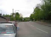
After the work done by WRG Forestry in late 2005, it's possible to see the junction bridge from the line of the arm...
... and the line of the arm from the bridge
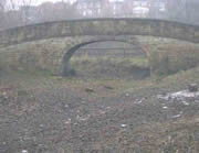
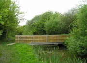
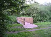
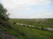
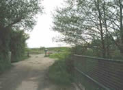
Once the arm has turned right, away from the dam wall, there's this bridge which still provides access for a cottage...
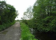
... following which the canal line is lined by trees...
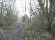
... all the way down...
... the rear of properties on Casson Street in Ironville.
In Ironville, Church Bridge has had the "hump" taken out of it - compare with the old pictures.
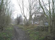
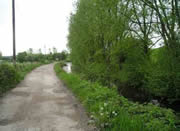
From here, the canal towpath starts to be cared for by Derbyshire CC, and becomes the Pinxton Canal Path...
... until you come to the bridge where the B600 crosses the canal.
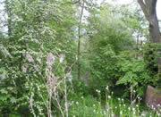
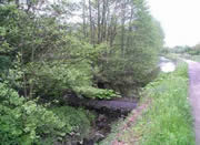
This stretch of canal is very attractive...
... for some distance...
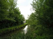
... and with the almost obligatory pub (seen here on the left)...
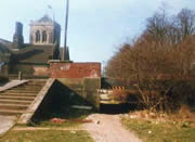
... but something's going to have to be done with this new, fixed, LOW bridge...
... before navigation can be restored!
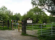
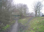
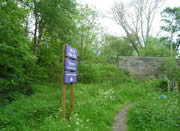
Pinxton Wharf has its sign board...
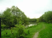
... and it's a nice stretch of water...
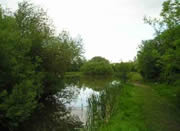
... much used by local fishermen.
From here, the canal has been filled in and is more-or-less totally overgrown...
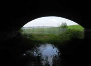
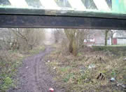
... until you come under this railway bridge...
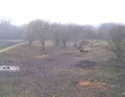
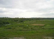
... and come across the Smotherfly Opencast Site, with Pinxton on the horizon.
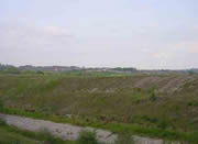
The site is yet to be landscaped...
... and if you know where to look from the B600, half way up the hill to Jubilee and Inkerman, it's just possible to see the bridge under the railway where the canal used to run.
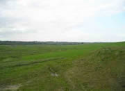
Seen from the same viewpoint, it's possible to gain some impression of the size of the site...
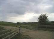
On the other edge of the site, there's a gate where the canal used to run...
... and all of a sudden, you come across the canal again...
... with a dam which is holding all the water back.


...)


